

Dorothy creates “song map” of the UK using more than 1,400 track titles
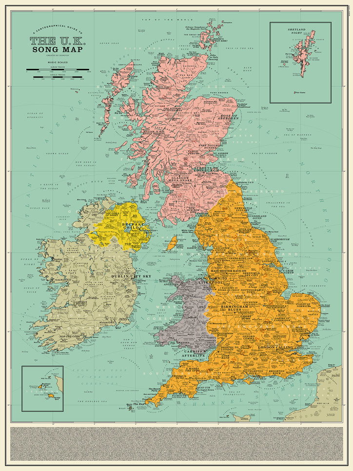
A follow-up to its US Song Map, the new print took nine months to make and features hits from the likes of The Clash, PJ Harvey, Tricky and Pulp, each in the exact spot the song is about.
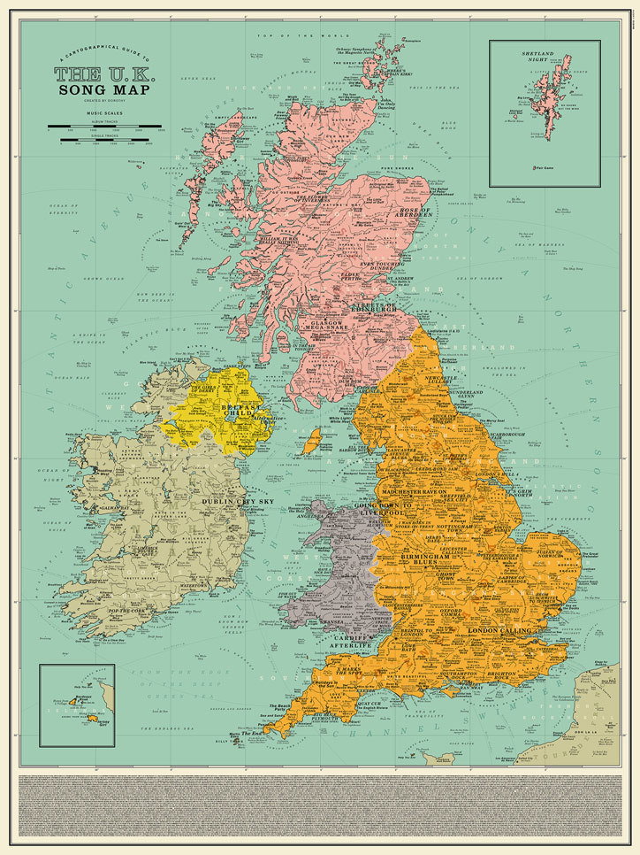
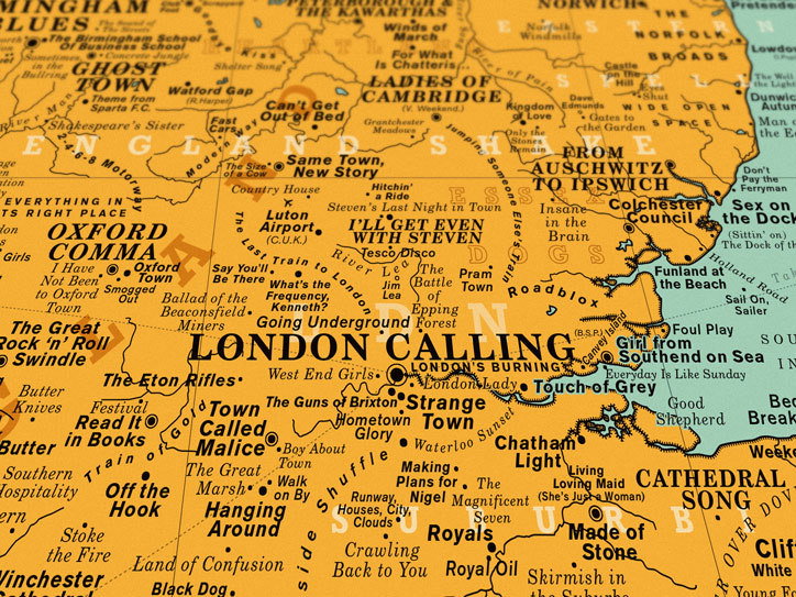
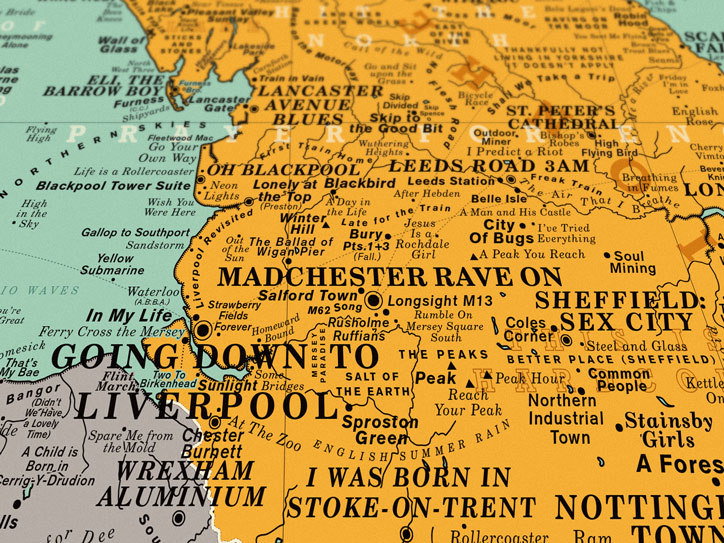
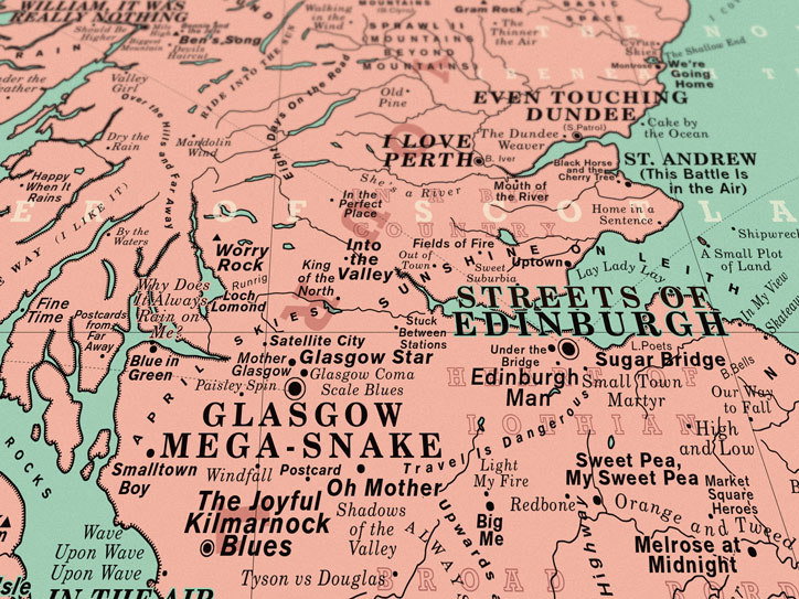
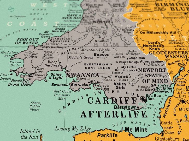
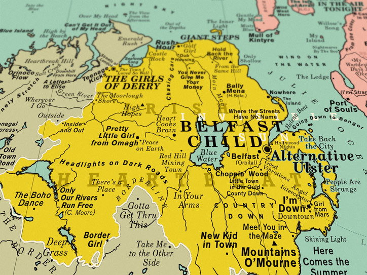
London-based studio Dorothy has developed a map of the United Kingdom using the titles of more than 1,400 pop songs. The map positions the titles of tracks in the exact spot that the music references, creating a “musical trip” across the country, the studio says. Specific cities and towns are included, as well as elements of the natural landscape like rivers and mountains and well-known landmarks.
Some of the songs included on the map have obvious geographical references – such as Sunshine on Leith by The Proclaimers, Newport State of Mind by Goldie Lookin Chain, Sheffield: Sex City by Pulp and Cardiff Afterlife by Manic Street Preachers – while others are more cryptic. For example, Dorothy has placed Farmer’s Daughter by Babyshambles in Glastonbury (a nod to Emily Eavis, the co-organiser of Glastonbury Festival and the daughter of farmer Michael Eavis), while Wonderwall by Oasis sits at Hadrian’s Wall, and David Bowie’s Scary Monsters and Super Creeps hovers over Loch Ness.
More than 1,400 songs are referenced on the map in a project that took the studio more than nine months to research and design. Part of this timeframe was doing research into the local quirks of lesser-known parts of the country. Every inch of the UK is covered, including the Isle of Sark, where Arcade Fire’s No Cars Go references the ban of motor vehicles on the Channel island, and FKA Twig’s Holy Island nods to Lindisfarne, a tidal island off the coast of Northumberland that was an important centre for Celtic Christianity.
The map follows up on a US version that the studio created last year. The studio has also made a Spotify playlist featuring all of the songs included on the map, which would take an incredible 83 hours to listen to in its entirety.
GalleryDorothy
Share Article
Further Info
About the Author
—
Laura is a London-based arts journalist who has been working for It’s Nice That on a freelance basis since 2016.